The Campsies And The Kilpatrick Hills Wall Art
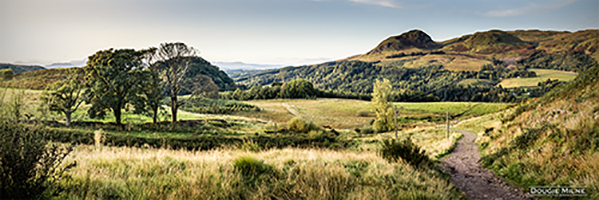
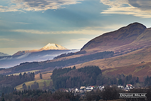
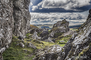
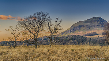
The Campsie Fells, along with the Kilpatrick, Kilsyth, Fintry and Gargunnock Hills form a sprawling upland range which stretch westwards from Dumbarton, passing to the north of the city Glasgow and across the narrow waist of Scotland towards Stirling. The name of the Campsies came from one of the hills in the range, Campsie, meaning crooked fairy hill, which is derived from the Gaelic cam, meaning crooked, and sith, meaning seat. The name first appeared on General Roy's 1755 map of the area. The Campsie Fells were originally only the mass of hills between the valleys of the Blane, the Forth and the Kelvin, but the name has since become synonomous with the entire range of hills between Strathblane and Stirling. Stretching west from Strathblane are the Kilpatrick Hills, named after the village of Old Kilpatrick (from the Gaelic Cille Phàdraig, meaning Patrick's Church), which lies at their southern foot. The hills, it is said, represent Scotland in miniature. Everything that a tourist would expect to find in Scotland - picturesque hills and lochs, mediaeval castles, warrior clans and whisky - can be found in the Campsies and the Kilpatricks.

